Content by David Kringen
West Dakota Water Development District Looks To Improve Rapid Creek Water Quality Through Stormwater Mitigation and Erosion Control Projects
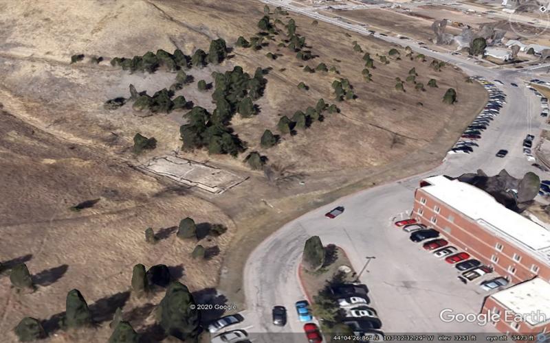
Two pilot projects initiated by the West Dakota Water Development District are intended to improve water quality in Rapid Creek by reducing suspended sediment loading over time.
Virtual Eastern South Dakota Water Conference to be Held October 14
September 22, 2020
The 2020 Eastern South Dakota Water Conference, sponsored by the South Dakota Water Resources Institute, will be held Wednesday, October 14, from 9:00 a.m. – 2:00 p.m.
South Dakota’s Changing Flood Risk
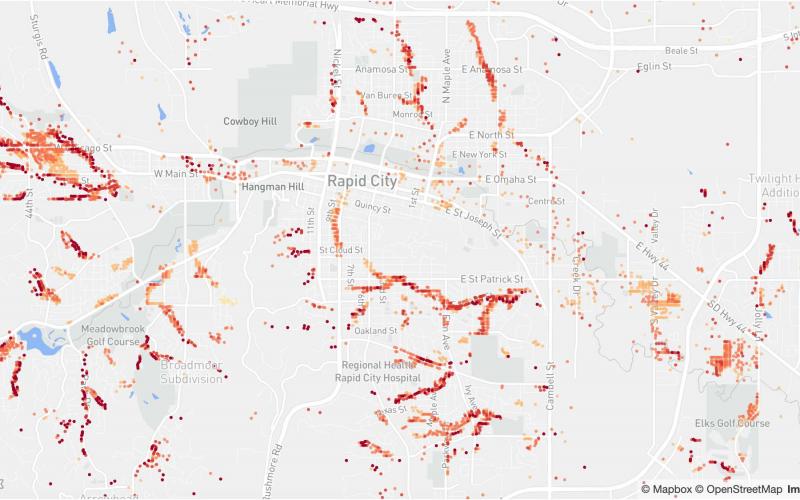
South Dakota’s flood risk is increasing in some areas of the state according to a recent report from the First Street Foundation. In 2020, 62,600 total properties are at substantial risk, with a projected increase to 63,000 properties by 2050.
Senior Design Project Has Potential to Become Lake Mitchell Water Quality Project
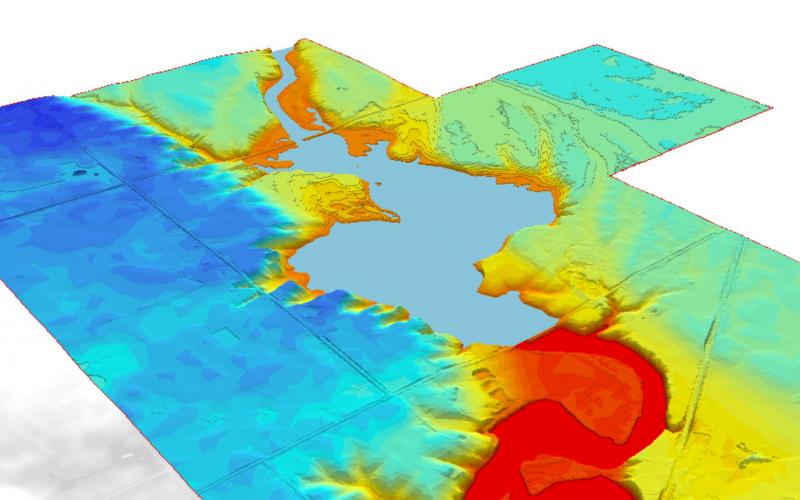
SDSU Agricultural & Biosystems Engineering students, as a senior design project, recommended constructing a retention structure on a property near Lake Mitchell in order to reduce the phosphorus content entering the lake.
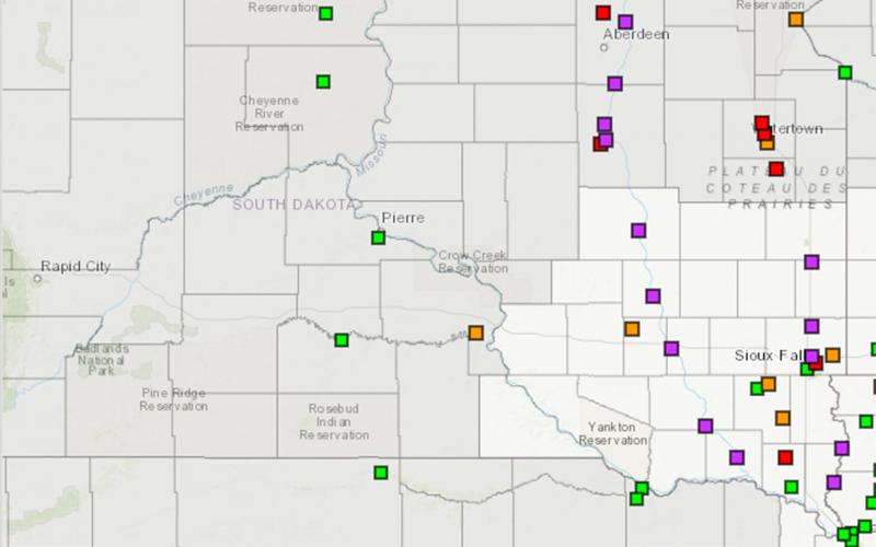
Get to Know Your Local Emergency Management Director
The warmer weather and spring migration this March have us all thinking of better days ahead. Unfortunately, it also has us thinking about flooding again this spring.
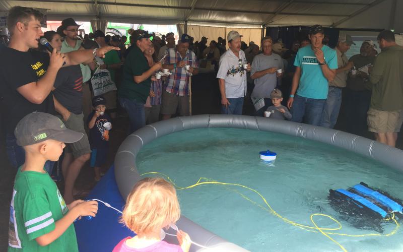
Underwater Drone Draws Crowds at Dakotafest
A new project being developed by faculty and staff from the SDSU Department of Agricultural & Biosystems Engineering (ABE) was recently unveiled during the 2019 Dakotafest Farm Show in Mitchell, South Dakota on August 20–22.
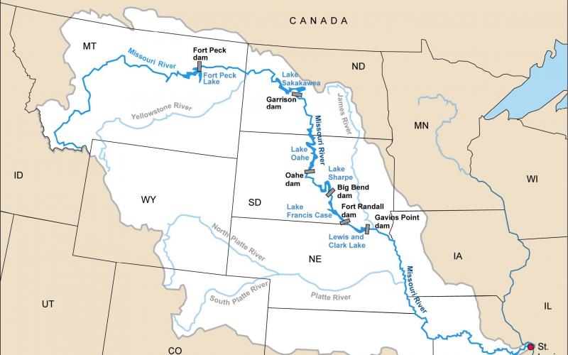
Zebra Mussels Impacting Missouri River Reservoir System
In July 2019, South Dakota Game, Fish & Parks officials confirmed of presence of zebra mussels in Lake Sharpe near Fort Thompson after U.S. Army Corps of Engineers staff initially discovered them while performing inspections on Big Bend Dam.
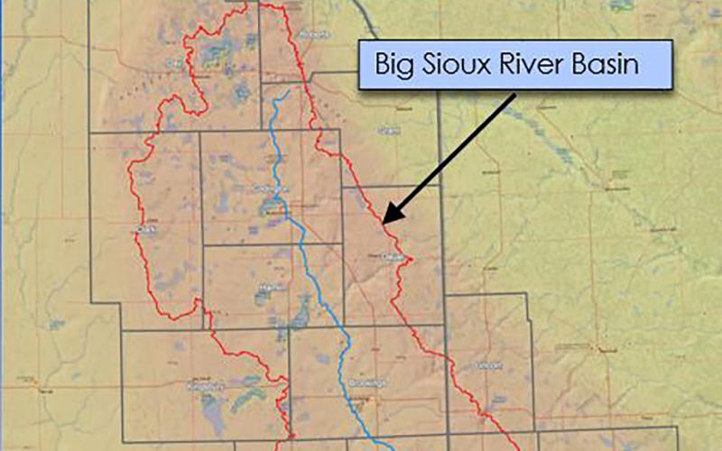
Big Sioux River Flood Information System Sees Heavy Use During Spring 2019
The Big Sioux River Flood Information System is the result of a combined effort between the SD Department of Environment and Natural Resources, local governments, and private industry, to create a product that can be used to predict the impact of flood events in the Big Sioux River Basin.
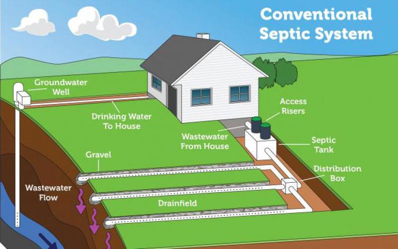
Septic Systems and Flooding
Septic systems may not always be a homeowner’s first concern during a flood. However, as South Dakotans continue to navigate an exceptionally wet spring, some consideration should be given to your septic system to prevent damage to your home and protect your family’s health.
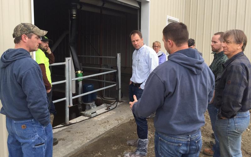
Dealing With Emergency Manure Runoff
With the recent flooding that the region has experienced and snowmelt that is yet to come, it is essential for livestock operators with animal waste management systems to regularly check on structures in order to prevent a manure storage spill.