Content by David Kringen
SDSU Extension Hosts First South Dakota Watershed Academy
SDSU Extension recently hosted the South Dakota Watershed Academy at the Oak Lake Field Station. The workshop was designed and organized in consultation with USDA Natural Resources Conservation Service to provide information on water resources regulation and monitoring.
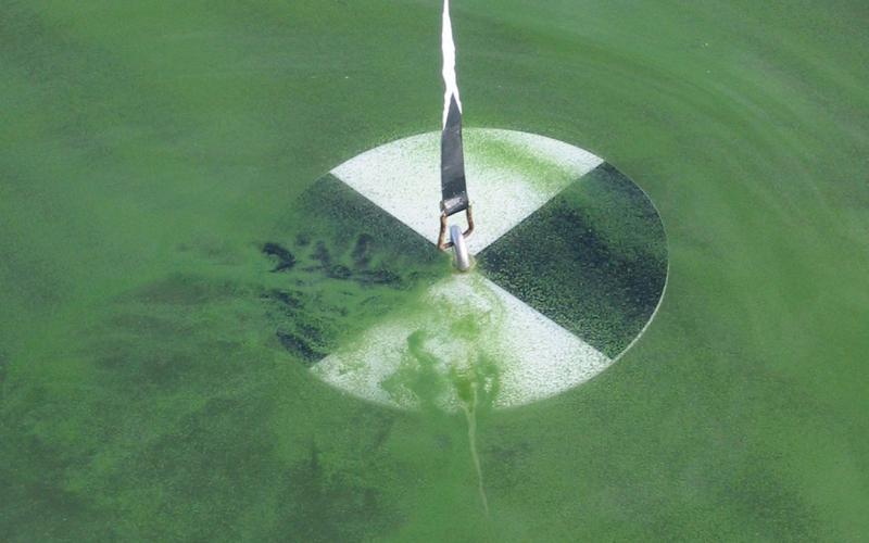
The Trophic State Index
The Trophic State Index is a means for lake professionals and volunteers alike to numerically measure the productivity of a natural lake or man-made reservoir. Learn how it's used in South Dakota to survey the condition of our water resources.
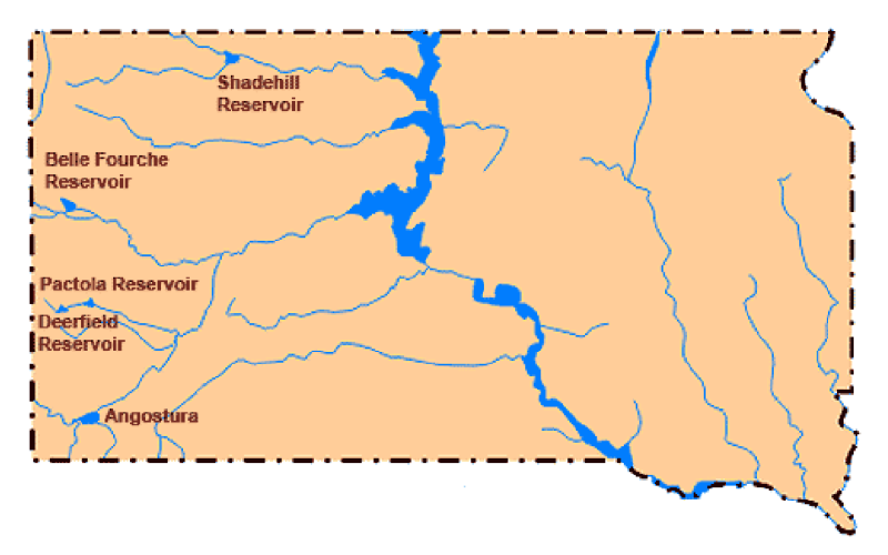
Spring Storms Help Bureau of Reclamation Reservoirs in Northwestern South Dakota
While the moisture was needed, the systems were severe with blizzard conditions occurring from multi-day, strong-gusting winds across the area.
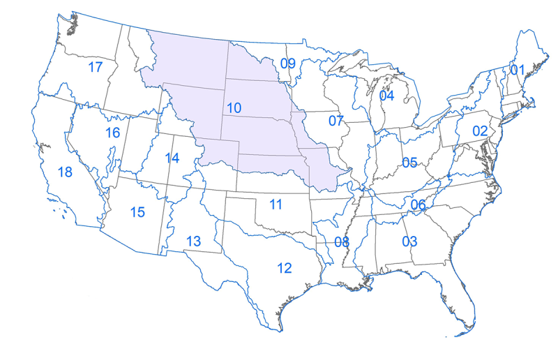
What is a Hydrologic Unit Code (HUC)?
HUC is the acronym for Hydrologic Unit Code. It is a hierarchical land area classification system that is based on surface hydrologic features in a standard, uniform geographical framework.
The South Dakota Habitat Stamp
In 2020, the South Dakota Legislature approved the South Dakota Habitat Stamp as a way to generate revenue for the development of wildlife habitat on public land and waters, or to provide public access to private land.
Water Rights in a Time of Drought
During a drought, it is not surprising that the South Dakota Water Rights Program will see an increase in permit applications. In South Dakota, water is considered the property of the people of the state, and depending on your intended water use, a water right permit may be needed.
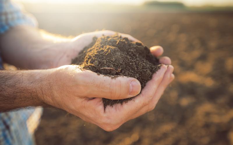
Optimal Design Drainage Rates for Eastern South Dakota
Fact sheet for the optimal design drainage rates for Eastern South Dakota.
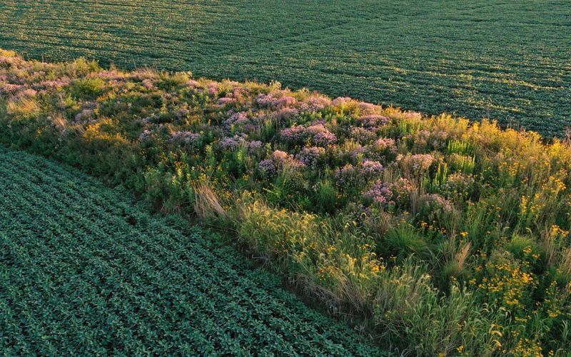
Using Prairie Strips To Protect South Dakota Water
Prairie strips are a new continuous Conservation Reserve Program practice that integrates native prairie plantings oriented linearly within a row crop field to reduce soil erosion and runoff.
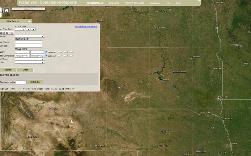
Finding Private Well Completion Reports
For those South Dakota residents that may have an interest in finding information on their private well if they have none, the South Dakota Department of Agriculture & Natural Resources has a database on their website where original Well Completion Reports can be found.
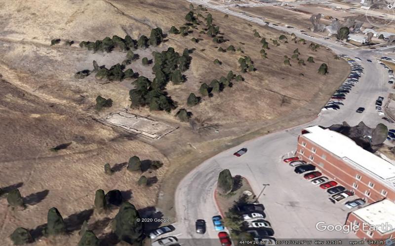
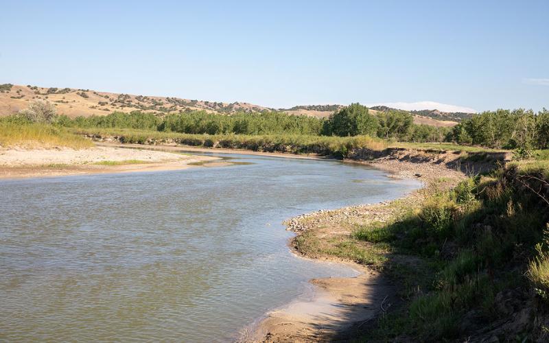
West Dakota Water Development District Looks To Improve Rapid Creek Water Quality Through Stormwater Mitigation and Erosion Control Projects
Two pilot projects initiated by the West Dakota Water Development District are intended to improve water quality in Rapid Creek by reducing suspended sediment loading over time.