Natural Resources
All Natural Resources Content
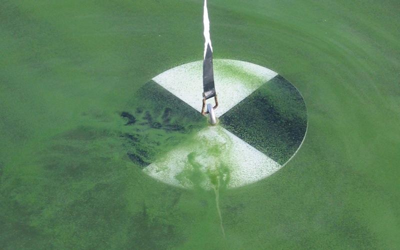
The Trophic State Index
The Trophic State Index is a means for lake professionals and volunteers alike to numerically measure the productivity of a natural lake or man-made reservoir. Learn how it's used in South Dakota to survey the condition of our water resources.

Understanding Western South Dakota Prairie Streams
This document provides information and guidance for landowners and land managers in western South Dakota who are managing small intermittent streams.
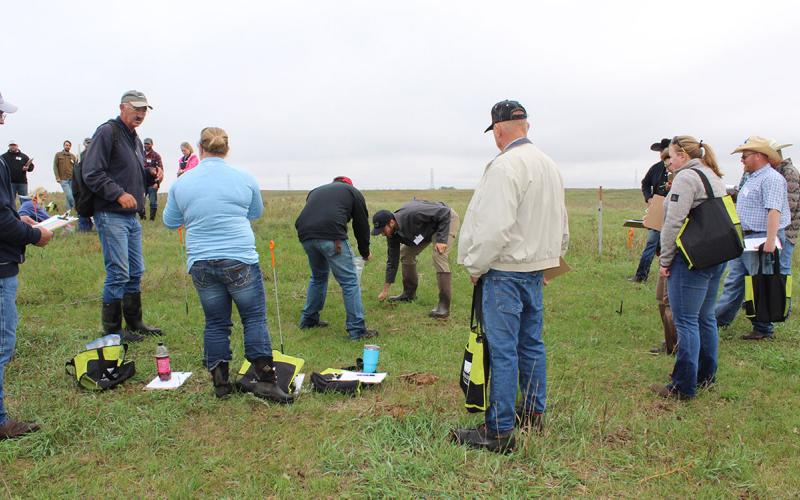
Eastern Grazing School to be Held July 26-28
July 12, 2022
The South Dakota Grassland Coalition, through a partnership with SDSU Extension and others, will host the Eastern South Dakota Grazing School July 26-28, 2022 near Marvin, South Dakota.
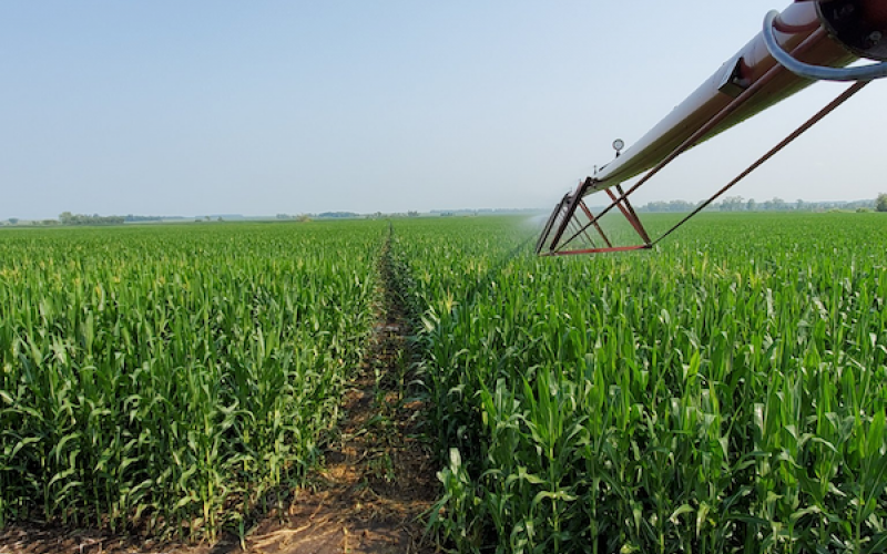
Subirrigation
Why is it important to know what the system needs before installing subirrigation?
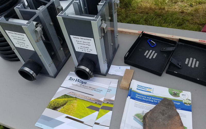
Balancing Controlled Drainage
Will controlled drainage help maintain a healthy nutrient cycle with extreme weather changes and improve yield and water quality?
Controlled Drainage Logistics
How is controlled drainage a beneficial conservation practice in maintaining the water in your fields?

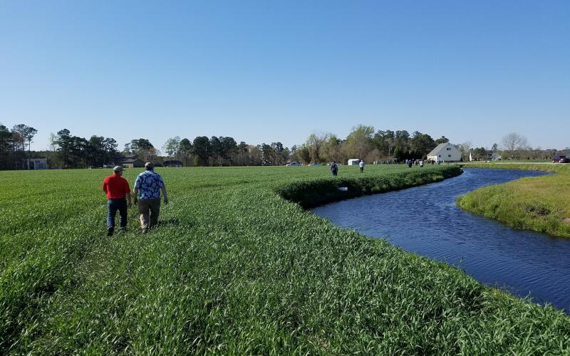
Saturated Buffer Performance, Challenges and a Path Forward
What are the challenges of a saturated buffer and can they work in other states?
Saturated Buffer Situations
What is a saturated buffer and how can they be beneficial to farmers?
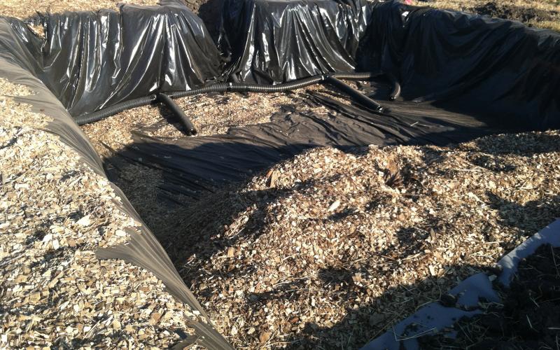
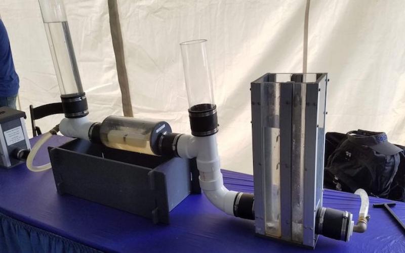
Bioreactors and Your Bottom Line
Why are bioreactors unpopular and what can we do to incentivize farmers to put them in?
Conservation Drainage Complexities Part 2
What can we do to prepare for the future of conservation drainage?