Crop Management
All Crop Management Content
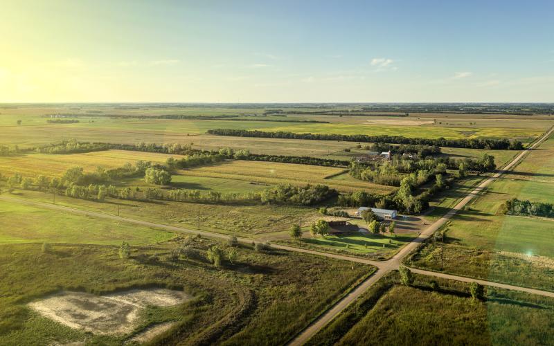
Crops
During the growing season, SDSU Extension provides weekly production recommendations.

Cover Crop Grazing Windows for South Dakota Crop Rotations
This guide is intended for livestock producers and crop producers interested in integrating cover crop grazing into cash crop systems. Recommendations identify opportunities for both fall grazing of rapidly establishing annuals and spring grazing of overwintering species, helping extend grazing seasons, reduce harvested feed costs, and improve nutrient cycling within crop rotations.

Agronomic Considerations During Drought
Despite technological advances, weather factors still play a major role in crop production, especially during dry times. Making smart agronomic decisions can prevent a drought situation from getting worse.

Late-Spring Frost Damage to Corn and Soybeans
Early planting may increase yield potential in some years, but it also puts crops at risk for damage caused by early-season or late spring low temperatures.
Effects of Late Spring Frost on Alfalfa
Forage research indicates that, although alfalfa is considered to have good cold temperature tolerance, minor frost damage may occur when plants are exposed to air temperatures slightly below freezing for several hours, and more severe damage will be seen when temperatures drop below 25°F for four or more hours.

The Economic Advantages of No-Till: Diesel Fuel
While no-till and conservation systems are often discussed for their soil health benefits, the economic advantages are becoming increasingly important in today’s farm economy, particularly when it comes to fuel costs.

Building Resilient Farms Amid Increasing Weather Variability
Recent decades have brought a noticeable increase in climate variability in South Dakota. Understanding these trends and adopting adaptive management practices can help producers strengthen the resilience of their operations.
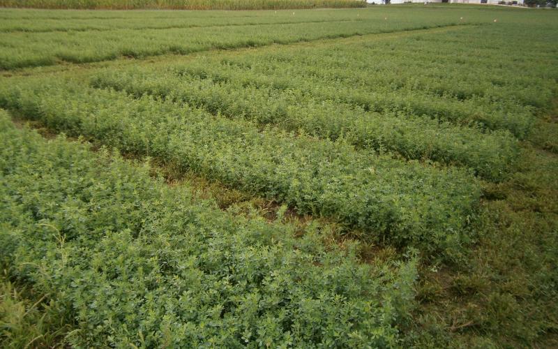
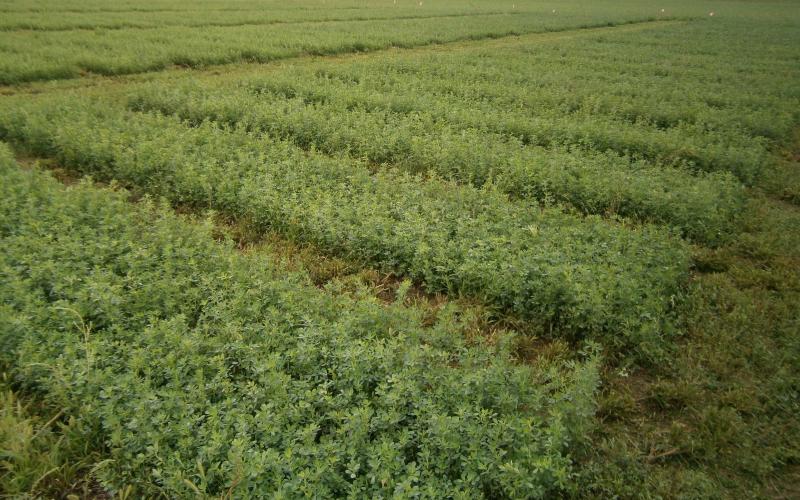
Alfalfa Variety Trial Results
Progress reports for alfalfa variety trials.
SDSU Extension Tile Drainage Economics Calculator
Calculator for farmers who are interested in evaluating the decision to install tile drainage from an economic perspective.
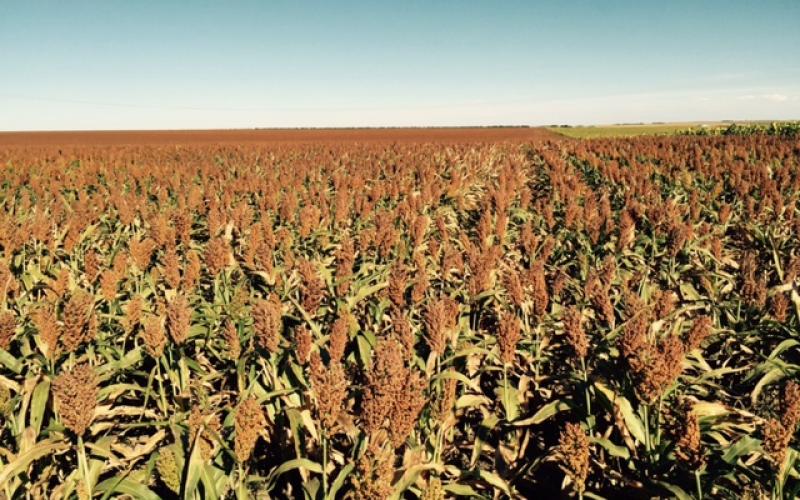
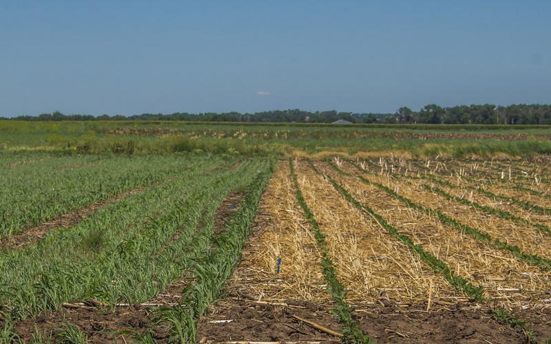
Sorghum Weed Control
Early competition, especially from grass, is critical for successfully controlling weeds in sorghum. There are preemergence as well as postemergence herbicides available for this crop. Early treatment provides the best control of broadleaved weeds with crop stage also being a critical factor for some postemergence treatments.