Flood Resources for Communities & Businesses
All Flood Resources for Communities & Businesses Content
Educating About Flooding and Associated Activities
This series of five articles is designed to educate readers about flooding and the associated activities to prepare for, respond to, and recover from flood events.
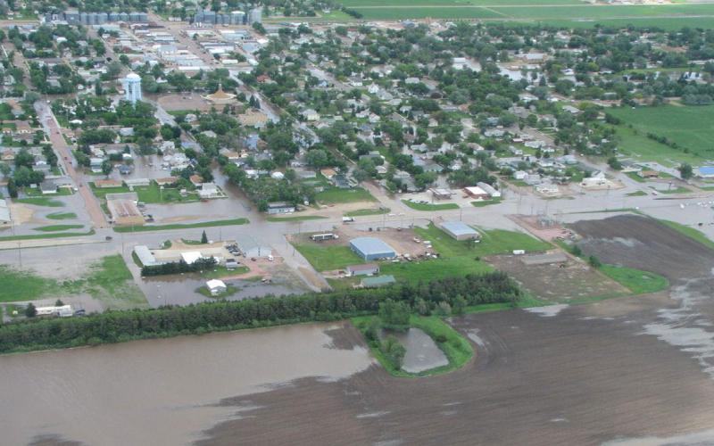
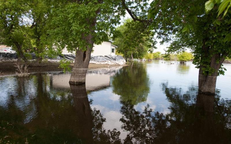
Where do floodwaters go and what do they leave behind?
Understanding the pathways and impacts of receding floodwaters is crucial for effective flood management and recovery efforts.
Global and U.S. Perspectives on Flooding
In this article, we will explore the statistics and impacts of floods, both globally and within the United States, based on data from various studies and reports.
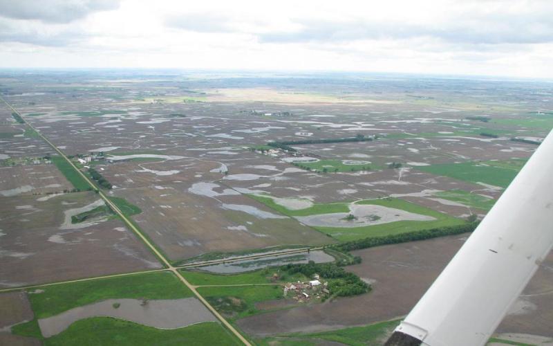
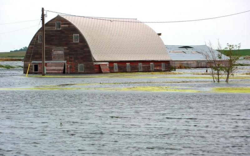
Understanding Flood Hazards in the United States
Understanding the different types of flood hazards and their causes is crucial for effective flood management and disaster preparedness.
What to Do About Flood-Damaged Trees
Fact sheet on what to do about flood-damaged trees
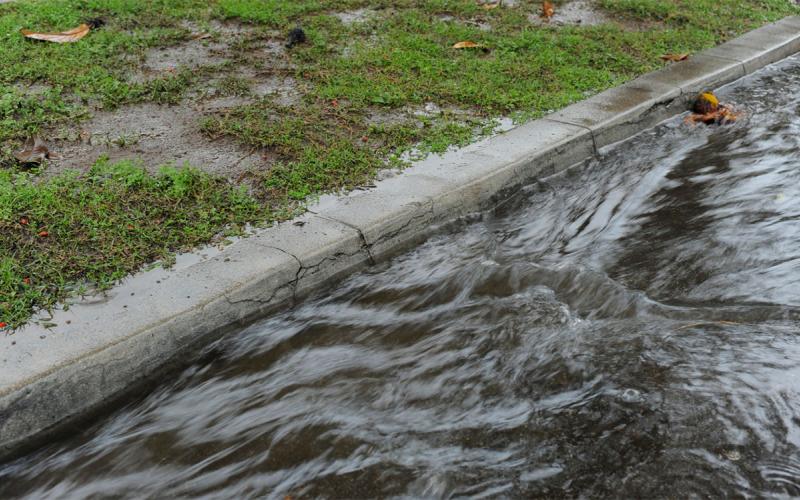
Flood
View resources to prepare for and recover from flood situations.
South Dakota Water and Community Symposium to be Held July 26
July 22, 2022
SDSU Extension will host a one-day South Dakota Water and Community Symposium on Tuesday, July 26 from 9:30 a.m. – 2:30 p.m. CDT at the Raven Precision Agriculture Center on the South Dakota State University campus in Brookings.
Climate Resilience Toolkit for the Northern Plains Region
In September 2021, the U.S. Climate Resilience Toolkit announced the publication of a new Northern Great Plains Region section. The new section can help producers recognize climate hazards, assess vulnerabilities and confront risks.
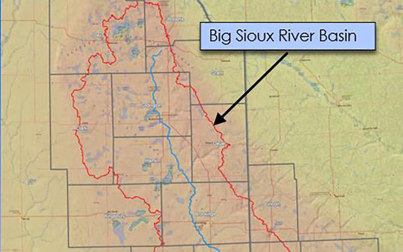
Big Sioux River Flood Information System Sees Heavy Use During Spring 2019
The Big Sioux River Flood Information System is the result of a combined effort between the SD Department of Environment and Natural Resources, local governments, and private industry, to create a product that can be used to predict the impact of flood events in the Big Sioux River Basin.
South Dakota’s Changing Flood Risk
South Dakota’s flood risk is increasing in some areas of the state according to a recent report from the First Street Foundation. In 2020, 62,600 total properties are at substantial risk, with a projected increase to 63,000 properties by 2050.