Conservation
All Conservation Content
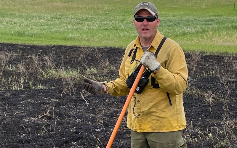
SDSU Extension Field Specialist Named Wildlife Professional of the Year
May 25, 2022
Pete Bauman, SDSU Extension Natural Resources and Wildlife Field Specialist, received the Wildlife Professional of the Year award from the South Dakota Chapter of The Wildlife Society at its annual meeting held March 3, 2022.
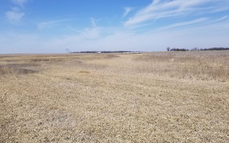
The Power of Living Roots
Learn how living roots improve soil structure and can be used as a tool to fix marginal lands with salty soil conditions.
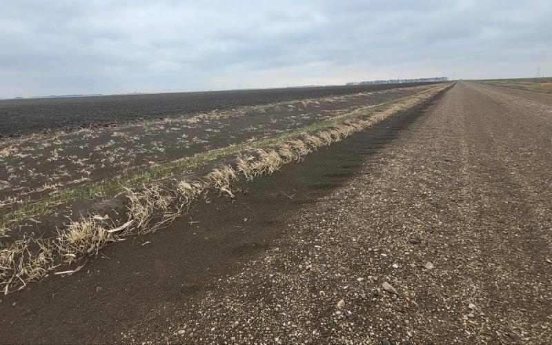
The Costs of Erosion: Topsoil’s Role in Food Security
The thin layer of topsoil covering our earth sustains almost all of the life we know. Learn some answers to common questions about protecting it from erosion.
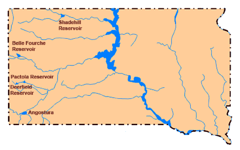
Spring Storms Help Bureau of Reclamation Reservoirs in Northwestern South Dakota
While the moisture was needed, the systems were severe with blizzard conditions occurring from multi-day, strong-gusting winds across the area.
South Dakota Natural Resource Professionals Range Camp Registration Now Open
April 26, 2022
SDSU Extension, in partnership with the U.S. Forest Service, the Bureau of Land Management and the Natural Resource Conservation Service, is hosting a three-day range camp June 28-30 in Belle Fourche, South Dakota.

Targeted Grazing Strategies for Kentucky Bluegrass Control
Fact sheet for targeted grazing strategies for Kentucky bluegrass control.

Windy and Divide Fires
General guide to all South Dakota landowners who may be affected by unplanned fire events.
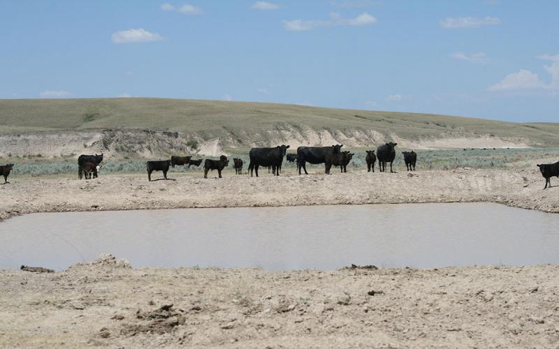
Drought Planning
A drought plan will be an essential component to your overall grazing plan, as it provides guidance in making decisions during critical times when forage may be lacking.
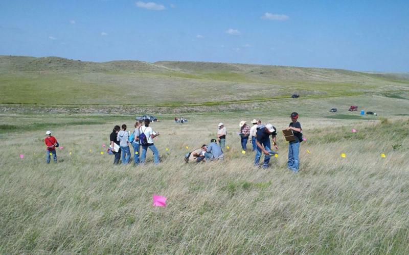
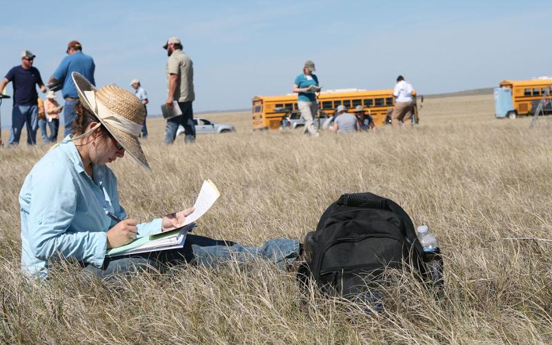
38th Annual Rangeland and 17th Annual Soils Days Set for June 14 and 15 in Murdo
March 28, 2022
Rangeland and Soils Days offer a unique opportunity for youth and adults alike to learn more about South Dakota’s natural resources.
What is a Hydrologic Unit Code (HUC)?
HUC is the acronym for Hydrologic Unit Code. It is a hierarchical land area classification system that is based on surface hydrologic features in a standard, uniform geographical framework.