Search
Forage Resources for South Dakota Farmers and Ranchers
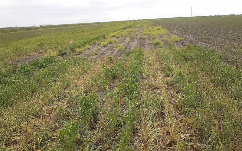
Producers often have difficulties locating fellow producers to buy, sell or rent forages and grazing acres too. South Dakota now has two widely recognized, free resources to aid in these connections.
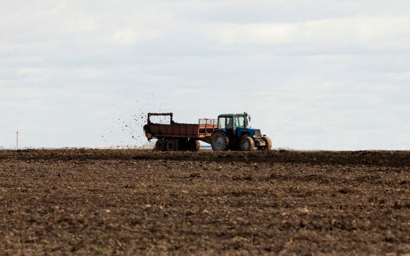
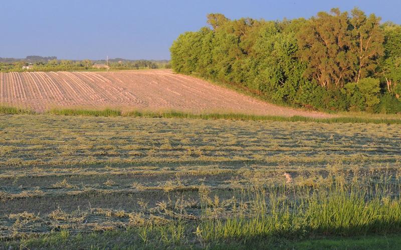
Using Feedlot Manure to Reduce Crop Production Costs
Livestock waste can be a valuable source of crop nutrients when correctly managed. Taking a strategic approach to feedlot manure application can increase the value of manure as part of your overall system.
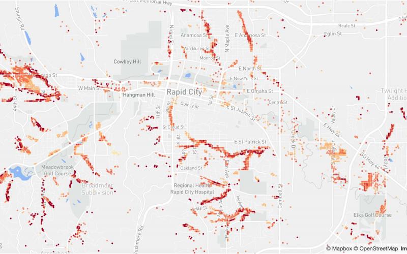
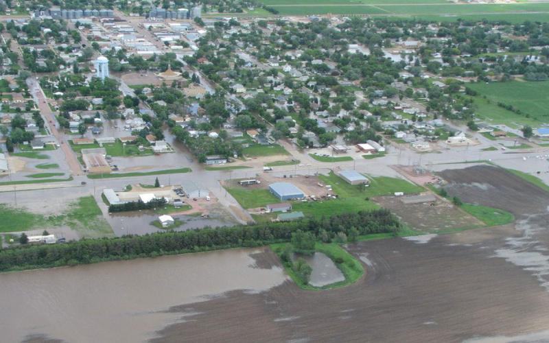
South Dakota’s Changing Flood Risk
South Dakota’s flood risk is increasing in some areas of the state according to a recent report from the First Street Foundation. In 2020, 62,600 total properties are at substantial risk, with a projected increase to 63,000 properties by 2050.
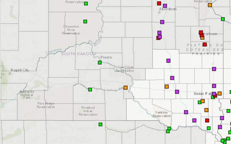
Get to Know Your Local Emergency Management Director
The warmer weather and spring migration this March have us all thinking of better days ahead. Unfortunately, it also has us thinking about flooding again this spring.
Educating About Flooding and Associated Activities
This series of five articles is designed to educate readers about flooding and the associated activities to prepare for, respond to, and recover from flood events.

2024 Annual Climate Review
The final climate numbers are in for 2024. Learn what the year brought for temperatures, precipitation, and drought conditions throughout the state.
Where to Find Weather and River Forecasts
Weather and flooding concerns can develop and change rapidly. There are some excellent resources for real-time information for weather forecasts and river flooding that can be accessed online.
Climate and Weather
View resources to predict, prepare and recover from weather-related events year-round, including the latest drought and flood information.
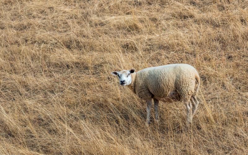
Drought Considerations for Grazing Range Flocks
Having a drought plan in place to best manage pastures is critical in being prepared for next year’s grazing season. Make decisions that will manage risk and promote both flock and financial longevity.
Conserving Soil Moisture During Dry Conditions
Dry conditions can create difficulties for agricultural producers. Using soil health principles can improve the resilience of agricultural systems to dry conditions.