Search
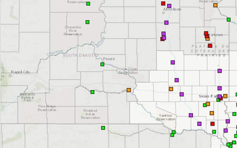
Get to Know Your Local Emergency Management Director
The warmer weather and spring migration this March have us all thinking of better days ahead. Unfortunately, it also has us thinking about flooding again this spring.
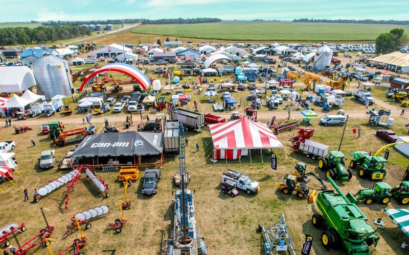
SDSU Extension booth at 2023 Dakotafest to feature livestock, soil and range experts
August 07, 2023
South Dakota State University Extension experts will be at the 2023 Dakotafest to provide information on a range of agricultural and economic issues, from the use of prescribed fire to livestock to weed and soil management.
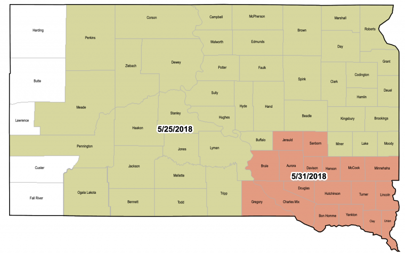
Late Plant Crop Insurance Dates
Crop insurance late plant dates are fast approaching for planting small grains in South Dakota. Late plant dates for corn, soybean, and sunflower are nearing as well. Producers will want to work with their crop insurance agent to explore planting options and reporting of prevent plant areas.
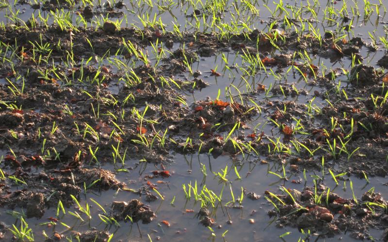
Wet Feet in Wheat
Given the widespread wet conditions present this spring, there are many areas in winter wheat fields with both ponding and saturated (or waterlogged) soils. Producers may want to consider soil conditions and evaluate extended weather forecasts when deciding whether or not to retain a winter wheat this spring.