Search
SDSU Extension Master Gardener Club Guidebook
Guidebook for SDSU Extension Master Gardener Clubs

Childcare Survey Reports
Survey reports that aim to understand the current landscape of childcare in the state, focusing on availability, cost, quality, and impact on families and the economy.
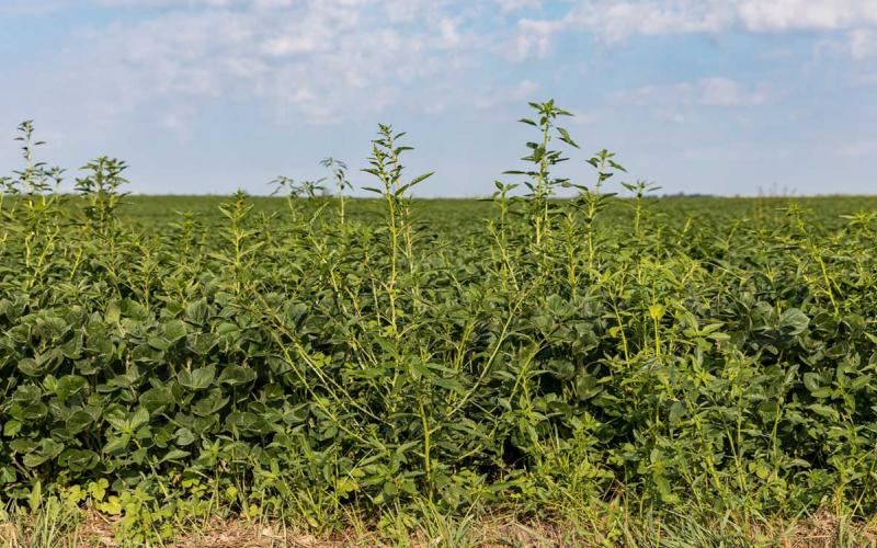
Current State of Row Crop Weed Management in South Dakota
Results of an online survey to determine how South Dakota stakeholders are currently managing row crop weeds.

The Mortenson Ranch Story: Balancing Environment and Economics
The Mortenson Ranch Story is a remarkable account of the restoration of a western South Dakota landscape devastated early in the 20th century by homesteading and drought.
Starter Fertilizer Calculator and Final Report
Decision aid to assist crop planners in selecting the maximum safe fertilizer rate that can be applied with the seed for various crops.

Organize This! Legal and Financial Must-Haves Resources
View the documents and forms for the Organize This! Financial, Health, and Legal Must-Haves program.
SDSU Extension 4-H Youth Development Camp Policies and Procedures
Throughout the manual, various policies indicate that they are in addition to the policies and procedures in place at the camping facilities. As a renter of camping facilities, SDSU Extension and South Dakota 4-H will follow all policies and procedures outlined at the facilities rented and employ any additional policies as needed.

5 Languages of Youth Appreciation
Guidebook providing a brief overview of each language of appreciation, what to consider before practicing each language and some examples of how to use each language in common 4-H settings.
Enlist One (2,4-D) and Liberty (Glufosinate) Applied Alone or Mixed During the Day and Night: Weed Control and Soybean Yield Implications
Fact sheet on the research done to determine weed control effectiveness with Enlist One and Liberty alone and tank mixed when applied during the daytime and nighttime.

Identification and management of common ragweed and giant ragweed
Fact sheet to help identify and manage common ragweed and giant ragweed.