Search
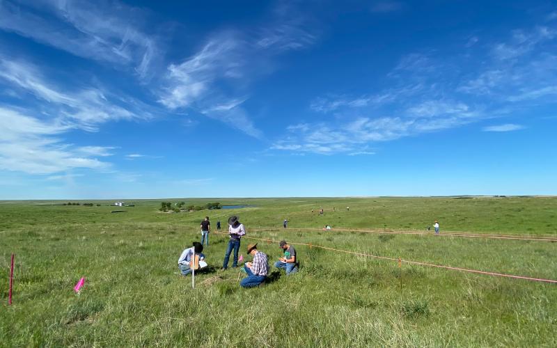
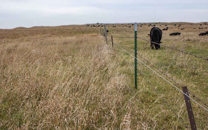
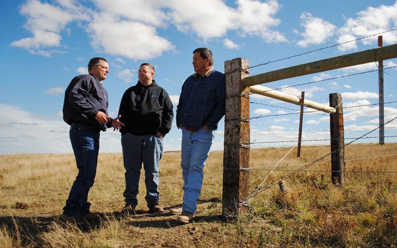
Judging South Dakota Rangelands for Livestock and Wildlife Values
Guide for judging South Dakota rangelands for livestock and wildlife values
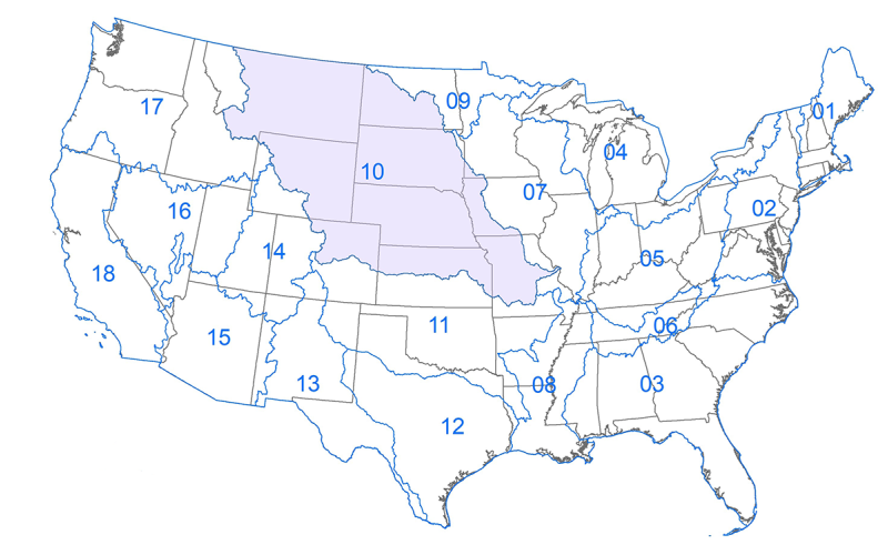
What is a Hydrologic Unit Code (HUC)?
HUC is the acronym for Hydrologic Unit Code. It is a hierarchical land area classification system that is based on surface hydrologic features in a standard, uniform geographical framework.
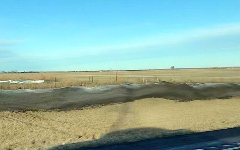
“Snirt” and How To Minimize It
Blowing soils, dust storms and “snirt” (snow with dirt on it) are frequent challenges during dry, windy winters. Learn some soil health principles to limit erosion and minimize snirt on field edges this planting season.
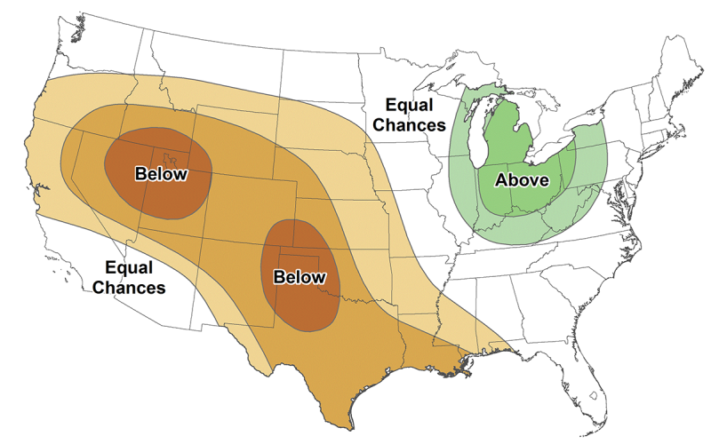
Drought Concerns Continue With 2022 Spring Climate Outlook
March 23, 2022
The climate outlook for spring 2022 has increased concern for drought in South Dakota, with the March 17 U.S. Drought Monitor showing two-thirds of the state in either moderate or severe drought.
Reading the Range: Range readiness, grazing timing and drought considerations
Grazing timing is key when managing rangelands during a drought. Learn how to determine grazing readiness for different plant communities found throughout pastures and rangelands.
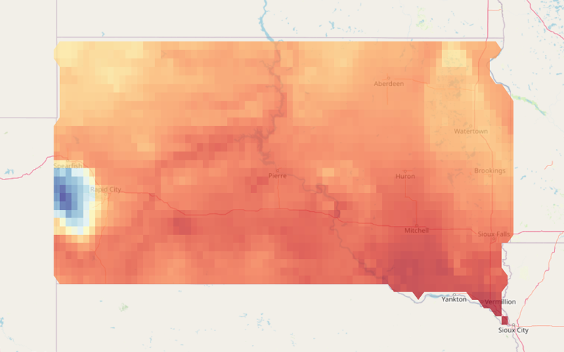
South Dakota Grazing Readiness Spring Turnout Map
The South Dakota Grazing Readiness Map uses historical climate data to provide livestock producers with a range of spring turnout dates for their location based on grass type.
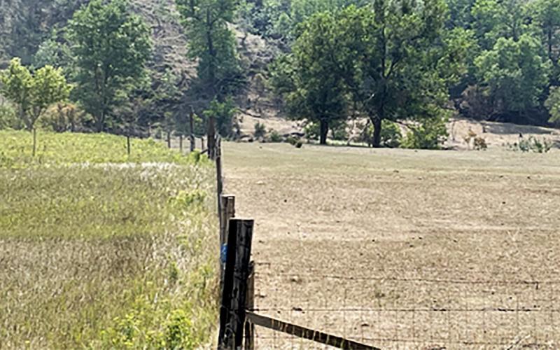
The Lasting Effects of Overgrazing on Rangeland Ecosystems
Overgrazing can cause various detrimental effects on rangeland ecosystems. Most of the effects are seen in the short term, but some are unseen and can be lasting.
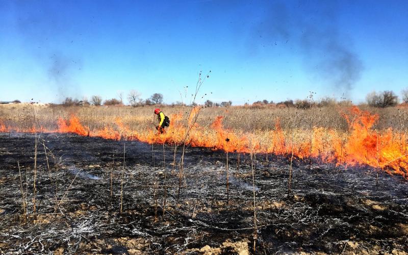
SDSU Extension to Offer Landowner Prescribed Fire Workshops
April 26, 2022
SDSU Extension, in partnership with the South Dakota Grassland Coalition, the Natural Resources Conservation Service, and others will host a prescribed fire workshop tailored to private landowners June 2-3 at the SDSU Oak Lake Field Station in Astoria.
Five Range Management Principles: #2 Creating a Grazing Plan
Creating a grazing management plan can be overwhelming. Learn the basic steps for outlining a plan, along with several resources to help identify the right strategy for your operation.

South Dakota Grasshopper Prediction for 2022
Data from the 2021 USDA Adult Grasshopper Survey of South Dakota suggests that grasshopper populations may continue to be problem in parts of central and western South Dakota during the spring of 2022.