Written collaboratively by Ali Mirzakhani Nafchi, Salman Mirzaee, Jose Payero, and Kristopher Osterloh,
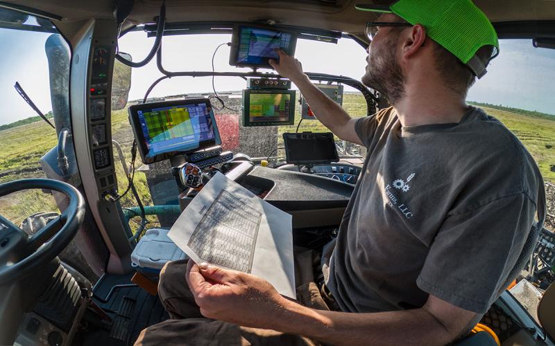
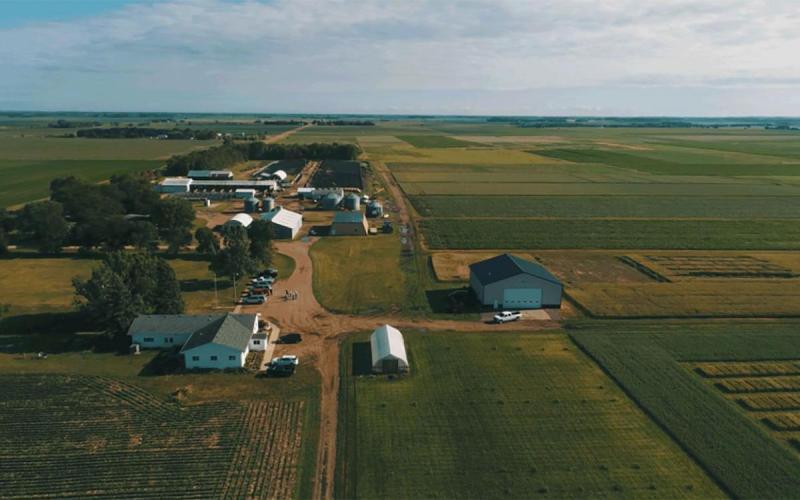
ArcGIS and satellite imagery are powerful tools for collecting and visualizing geographic data, enabling accurate mapping of agricultural data/information and providing timely updates on field conditions. This fact sheet provides valuable insights into how these tools can be used to monitor crop performance, assess field conditions and support better agricultural outcomes.

