Search

Identification and management of common ragweed and giant ragweed
Fact sheet to help identify and manage common ragweed and giant ragweed.
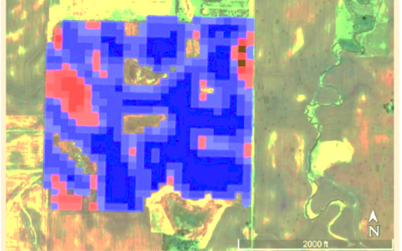
Digital Farming: Free Satellite Imagery & NDVI Maps
Fact sheet about the benefits and accessibility of using satellite imagery and NDVI maps in modern farming.
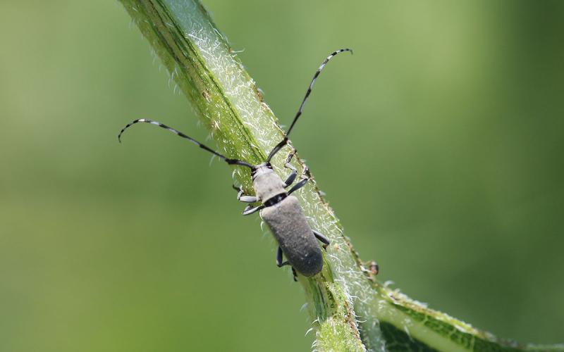
Dectes Stem Borer in South Dakota Soybeans
Fact sheet on Dectes stem borer in South Dakota soybeans
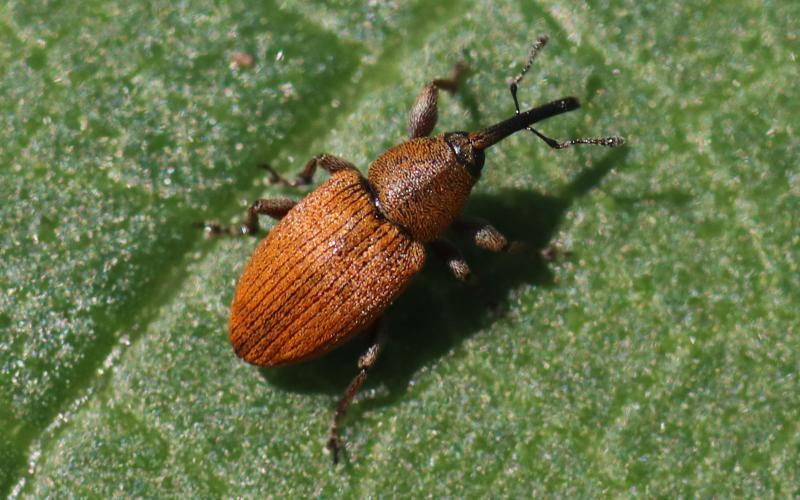
Red Sunflower Seed Weevils in South Dakota
Fact sheet on red sunflower seed weevils in South Dakota

Emerald Ash Borer Life Cycle in South Dakota
This fact sheet is a general description of the emerald ash borer life cycle in South Dakota.
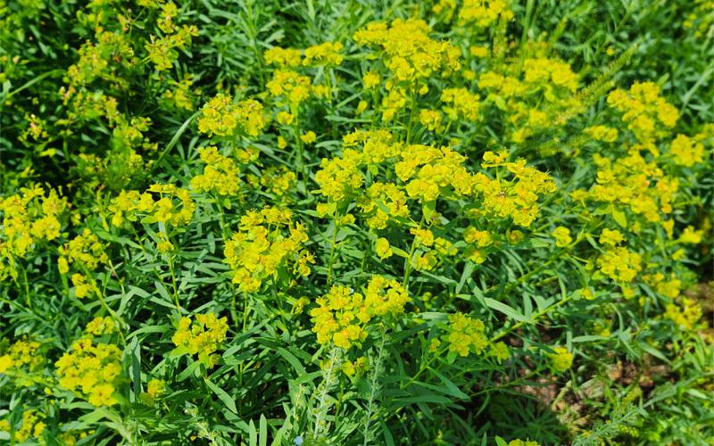
Effects of 2,4-D with and without wiper-applied glyphosate on leafy spurge (Euphorbia esula) treated-shoot, shoot regrowth, and root biomass
Fact sheet on the effects of 2,4-D with and without wiper-applied glyphosate on leafy spurge.
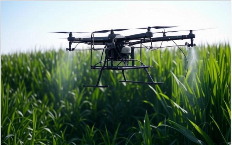
Required Licensing For Applying Pesticide Using Spray Drones
Fact sheet for South Dakota stakeholders wanting to get certified to apply pesticides with a spray drone.
Satellite Farming: Download, Detect and Decide with Multispectral Imagery
Fact sheet about the benefits and accessibility of using multispectral imagery (MSI) from satellites and NDVI maps in modern farming.
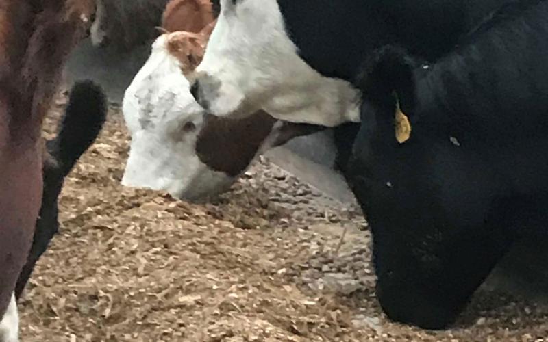
Frequently Asked Questions - Forage Nitrate Toxicity in Ruminant Livestock
A fact sheet to address frequently asked questions about forage nitrate toxicity in ruminant livestock.
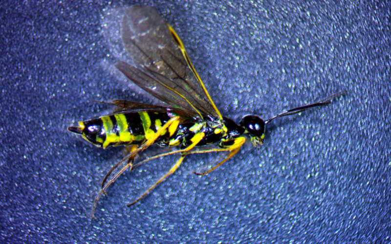
Wheat Stem Sawflies in South Dakota Wheat
This fact sheet covers the identification, lifecycle and management of Wheat Stem Sawflies in South Dakota.