Search
SDSU Extension Hosts First South Dakota Watershed Academy
SDSU Extension recently hosted the South Dakota Watershed Academy at the Oak Lake Field Station. The workshop was designed and organized in consultation with USDA Natural Resources Conservation Service to provide information on water resources regulation and monitoring.
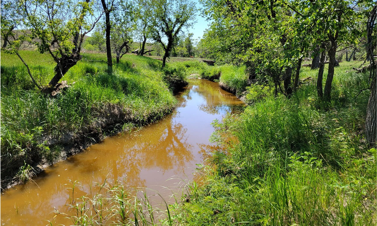
Ranching and Prairie Streams: Why Riparian Areas Matter
For many producers, riparian pastures are essential to their operations. However, land managers need to balance grazing and utilization needs with riparian health for the long-term benefit of their operation.
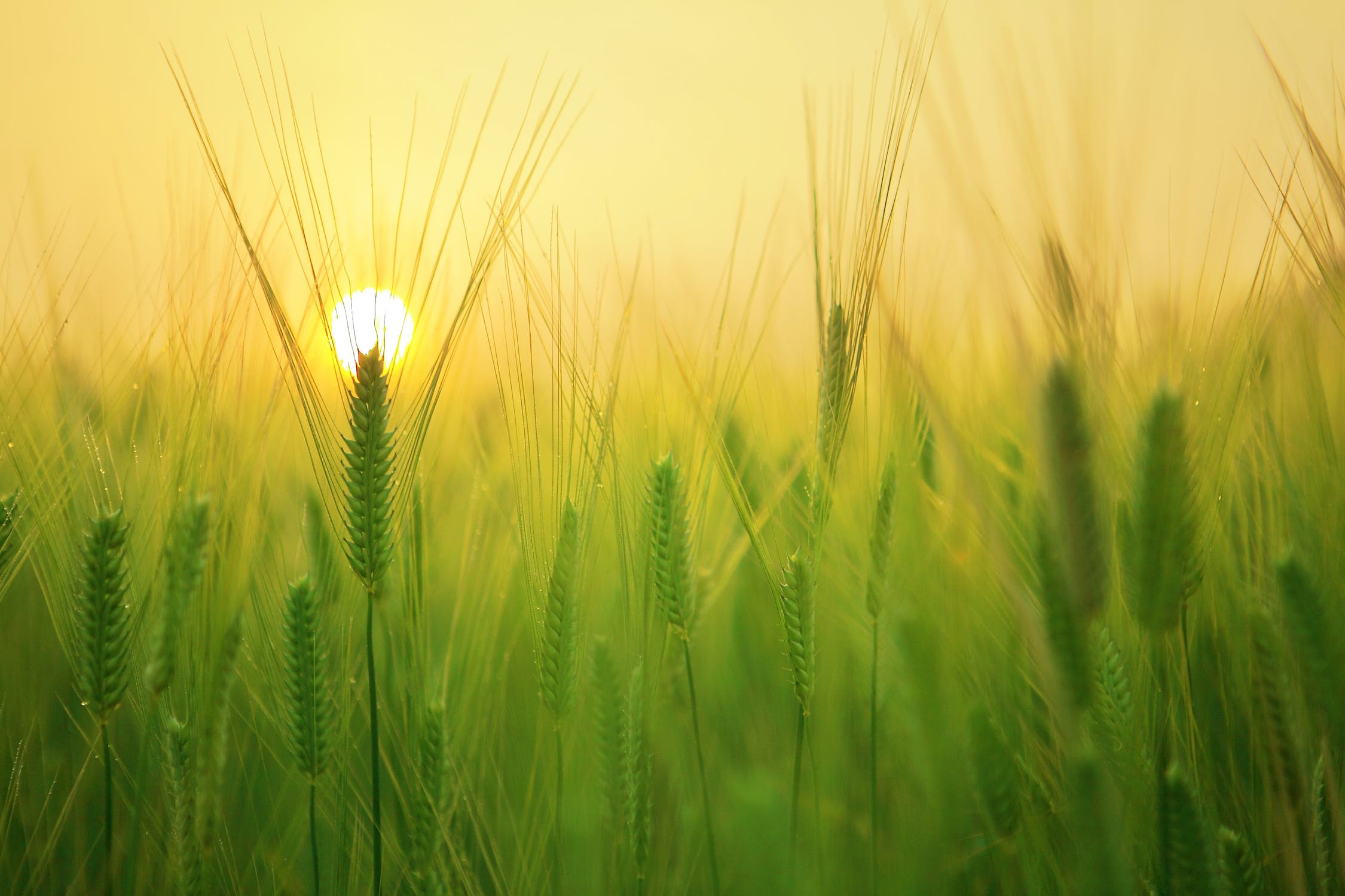
Water Use by Plant Stage
Over the growing season, solar radiation, air temperature and plant size are the dominant factors in determining evaporative demand and the rate of water use by wheat. Water use can vary dramatically on a day-to day basis, depending on climate and wheat health.

Fresh May Not Always Be Best
To have a healthy diet all year long, consider all options (fresh, frozen, and canned) when it comes to eating fruits and vegetables.
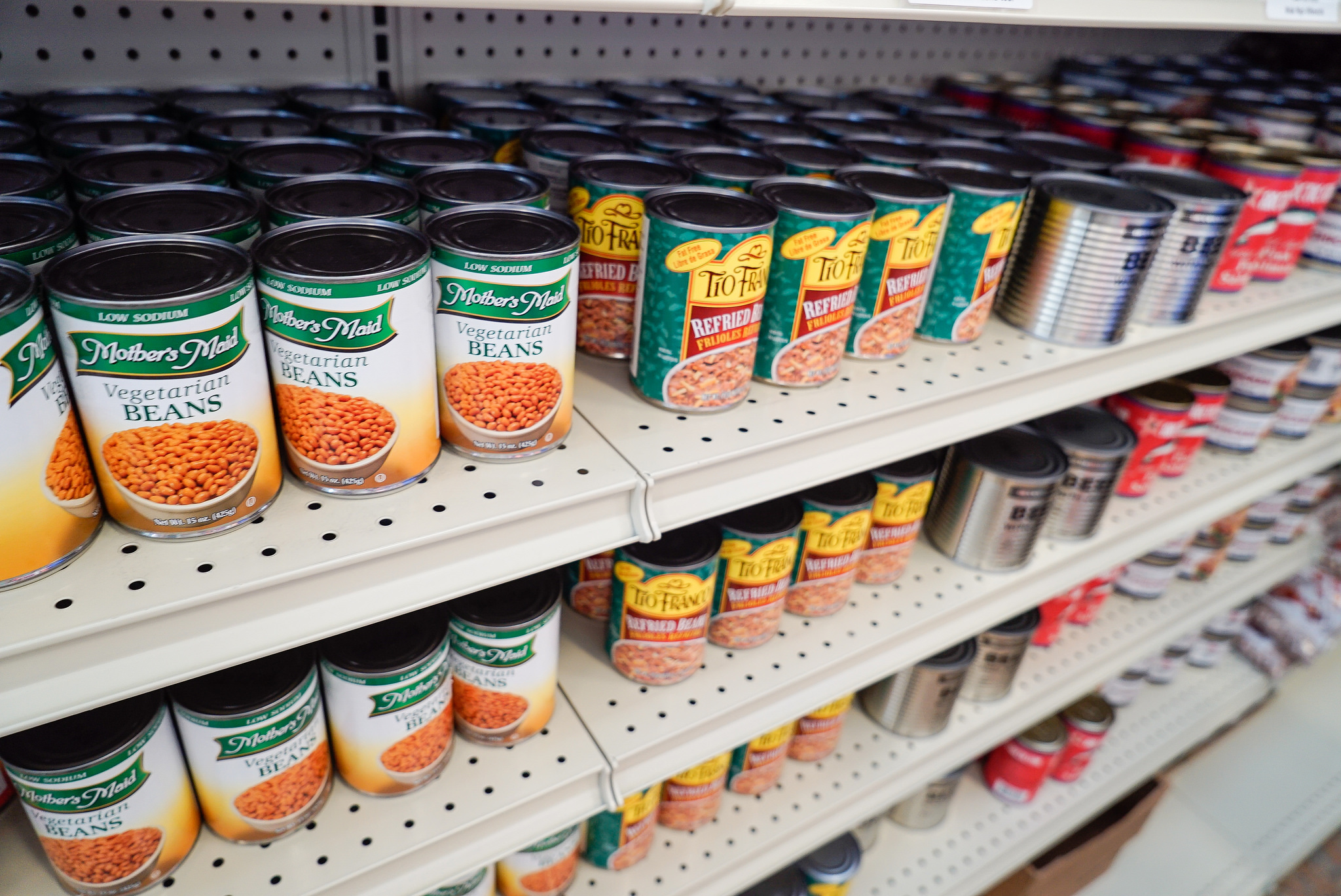
Shelf-Stable Foods Save Money and Help Families Stay Prepared
Many people may find themselves feeling worried or concerned about having enough food in their homes. One way to help with these worries and concerns is to purchase canned or dried foods also known as shelf-stable items.
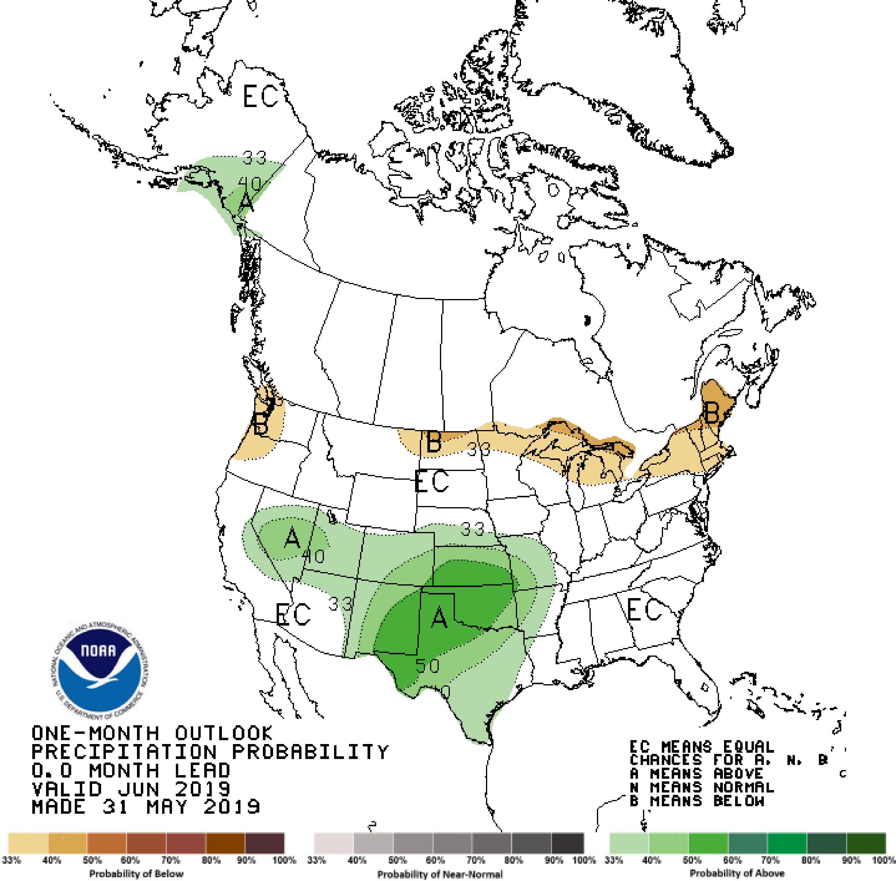
June 2019 Climate Outlook for South Dakota
As South Dakota emerges from the wettest 12-month period in 124 years of climate recordkeeping (June 2018-May 2019), June has started warmer and drier than average. The outlook, however, turns towards cooler and wetter than average again for the middle of the month.
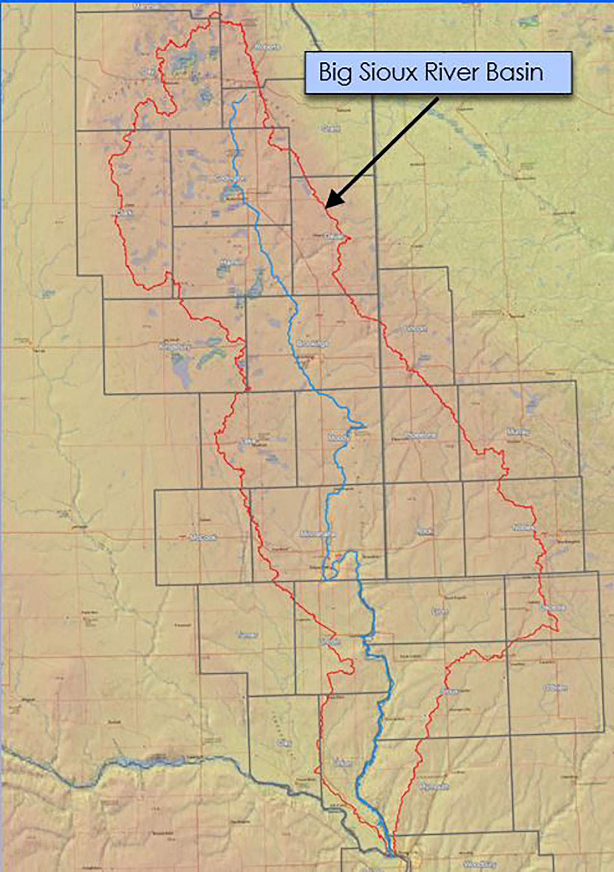
Big Sioux River Flood Information System Sees Heavy Use During Spring 2019
The Big Sioux River Flood Information System is the result of a combined effort between the SD Department of Environment and Natural Resources, local governments, and private industry, to create a product that can be used to predict the impact of flood events in the Big Sioux River Basin.
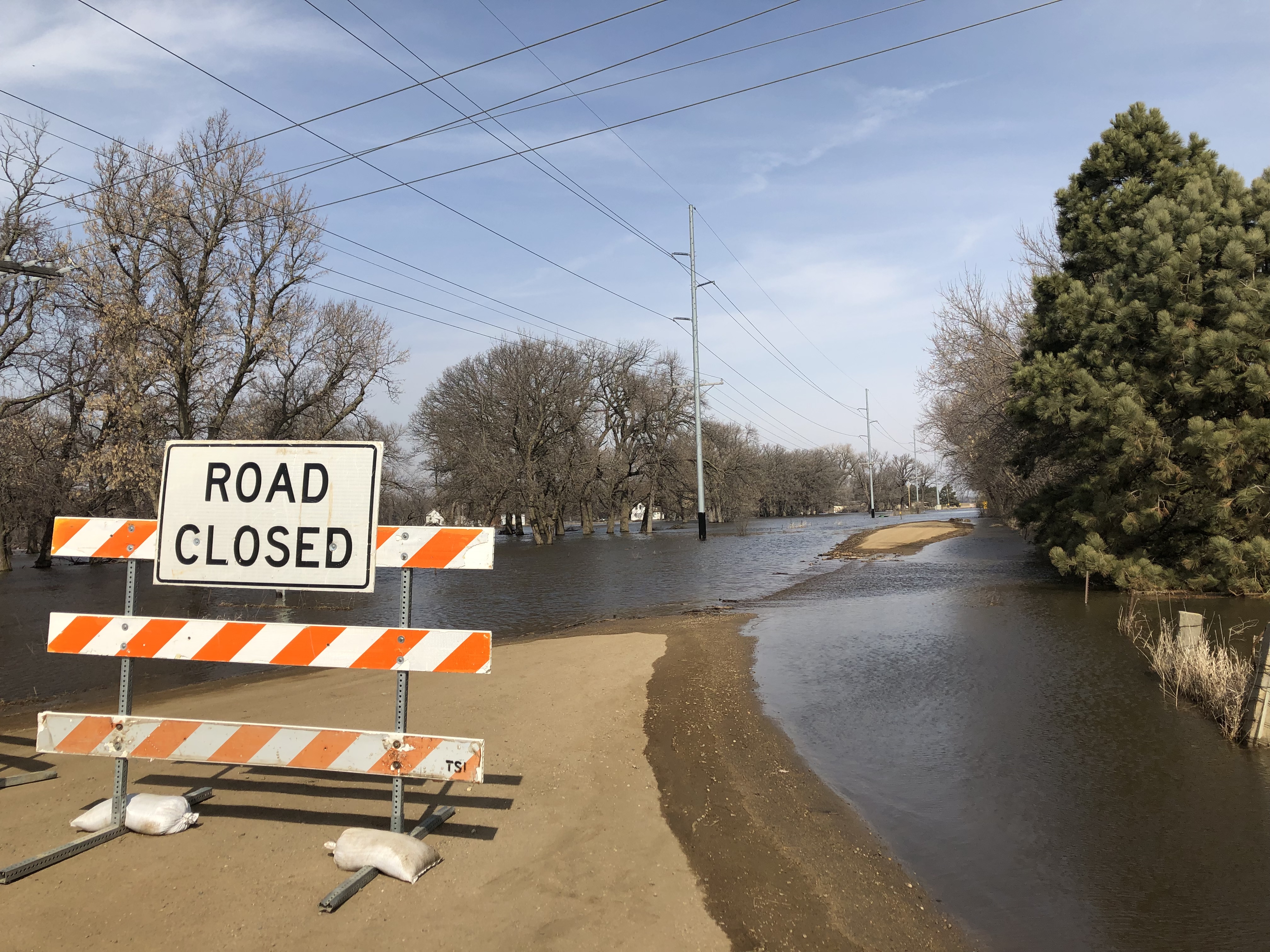
Floods Continue With a Wet Outlook
As April unfolds, major flooding continues along the Eastern rivers. The James River is at crest in Brown county the first week of April and will slowly recede while maintaining flood level for much of April.
South Dakota Land Use Trends (2012-2017)
Significant education efforts for natural resource conservation have occurred in South Dakota during the last five years. Many stakeholder groups have brought awareness for soil health and water quality to the forefront.

Late Plant Crop Insurance Dates
Crop insurance late plant dates are fast approaching for planting small grains in South Dakota. Late plant dates for corn, soybean, and sunflower are nearing as well. Producers will want to work with their crop insurance agent to explore planting options and reporting of prevent plant areas.