Search
Feed Nutrient Comparison Calculator
This comparison calculator is designed to assist producers with supplemental feed purchasing decisions for their operation.
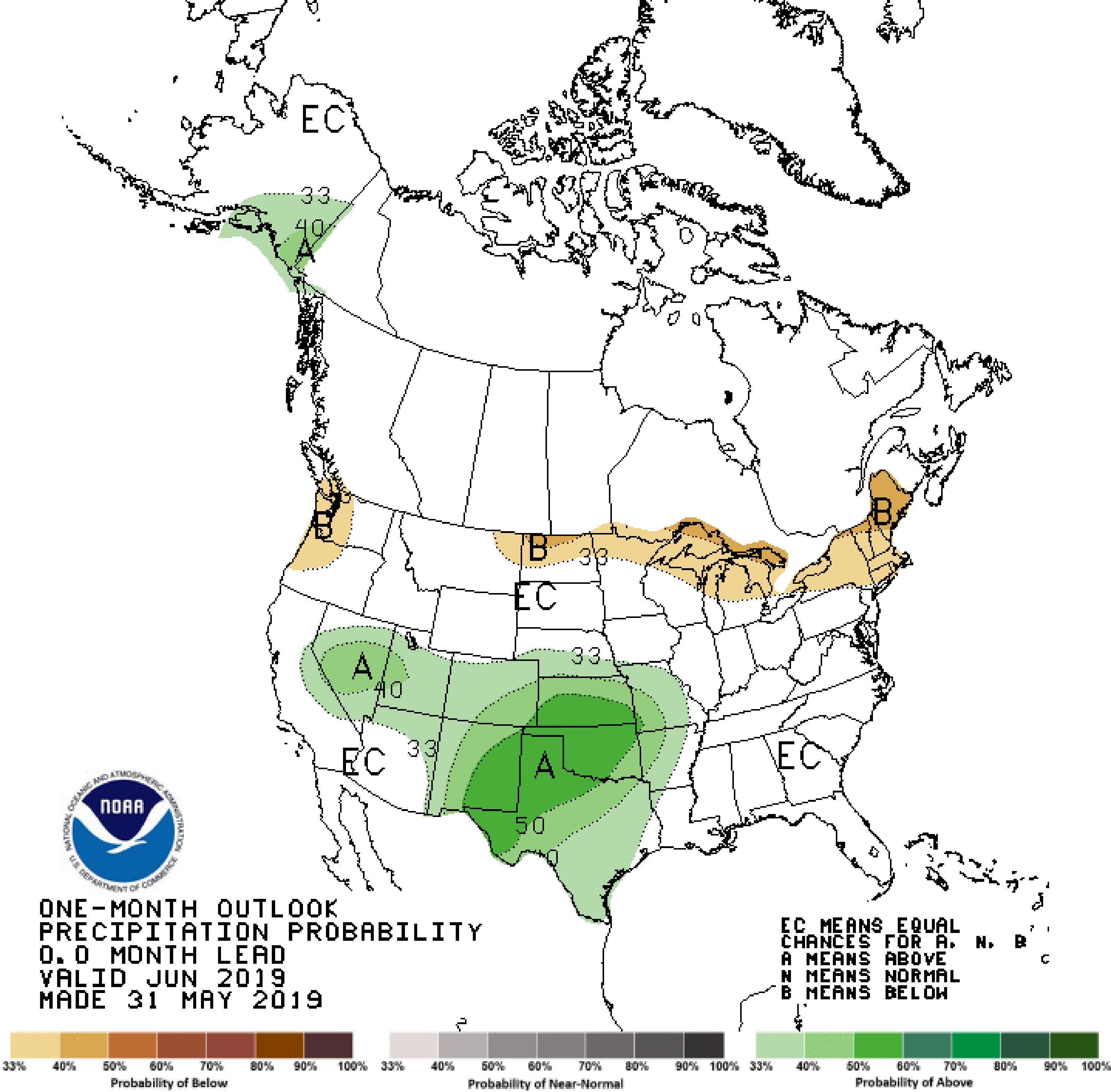
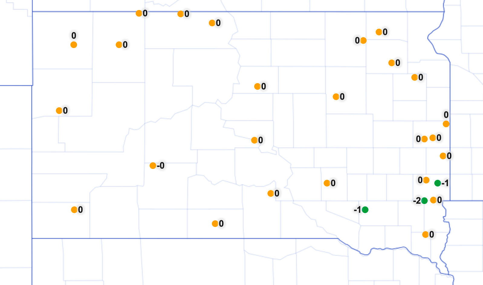
June 2019 Climate Outlook for South Dakota
As South Dakota emerges from the wettest 12-month period in 124 years of climate recordkeeping (June 2018-May 2019), June has started warmer and drier than average. The outlook, however, turns towards cooler and wetter than average again for the middle of the month.
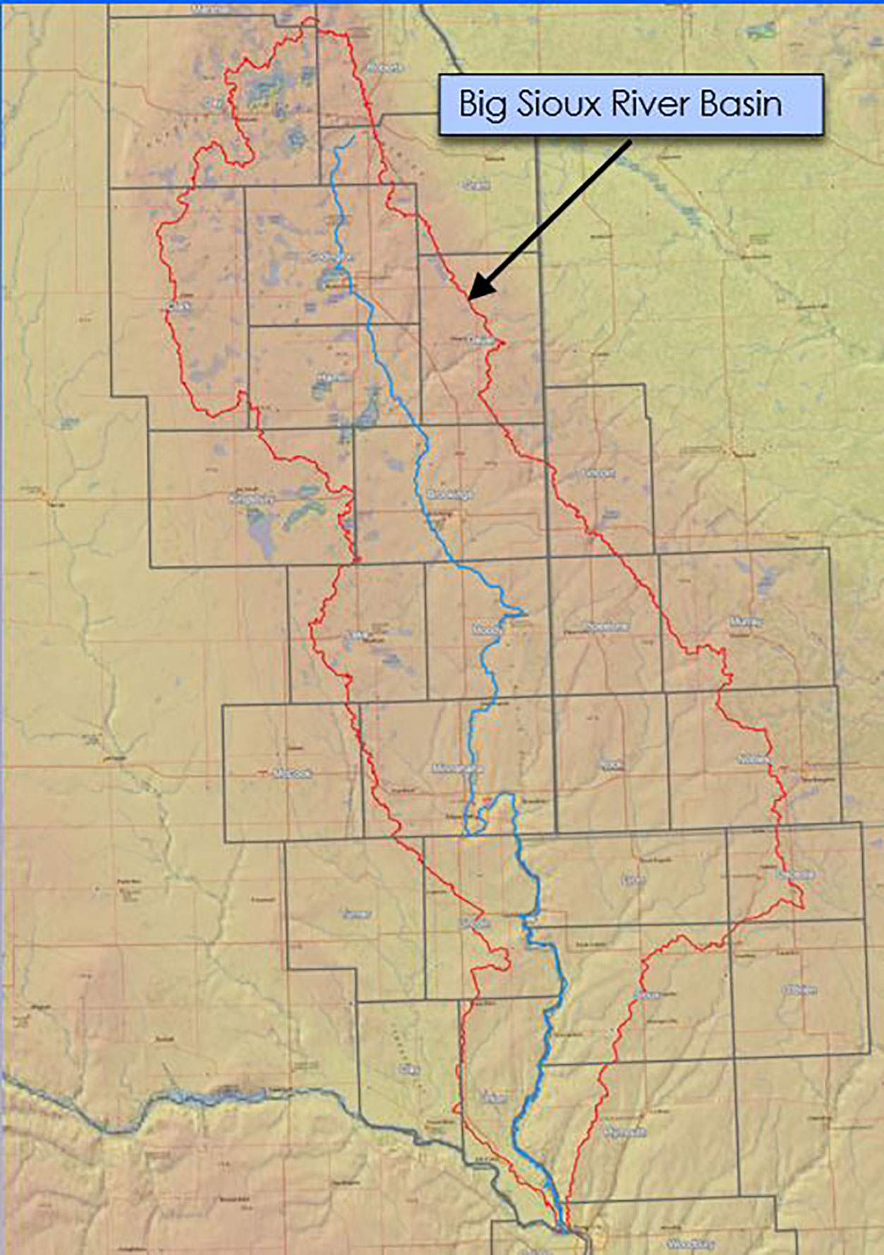
Big Sioux River Flood Information System Sees Heavy Use During Spring 2019
The Big Sioux River Flood Information System is the result of a combined effort between the SD Department of Environment and Natural Resources, local governments, and private industry, to create a product that can be used to predict the impact of flood events in the Big Sioux River Basin.
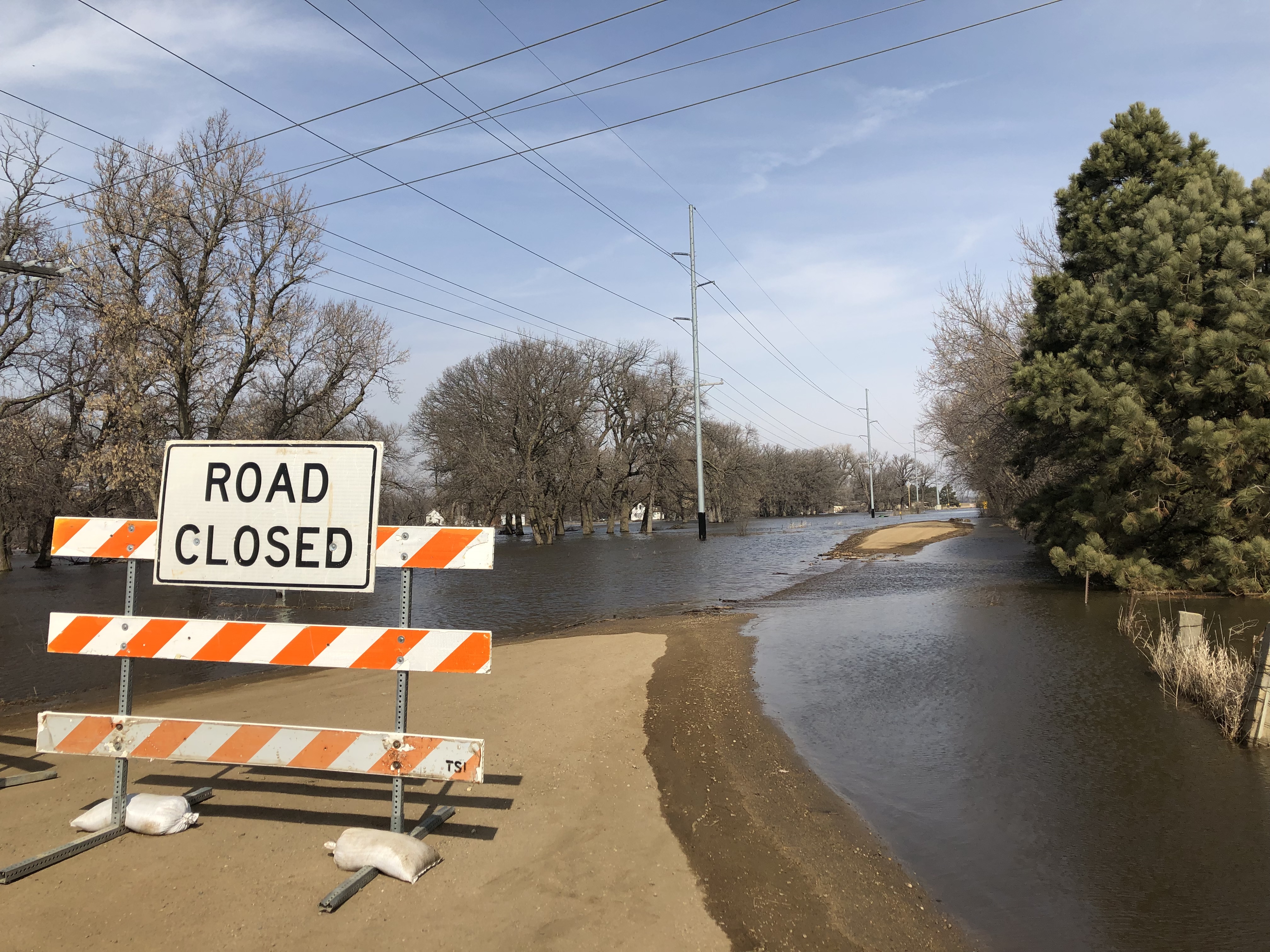
Floods Continue With a Wet Outlook
As April unfolds, major flooding continues along the Eastern rivers. The James River is at crest in Brown county the first week of April and will slowly recede while maintaining flood level for much of April.
May 2019 Climate Outlook: April Showers Bring May Showers?
The precipitation outlook for May does not show much promise of relief from moisture, as wetter than average conditions are slightly more favored than drier conditions. In addition, cooler than average temperatures are more likely for the first half of May and could continue for much of the month.
Use the SD Spray Tool for Inversion Detection and Weather for Pesticide Application
The SD Mesonet Spray Tool provides real-time weather data for pesticide applicators. This dedicated website for pesticide applicators uses the SD Mesonet weather data, which is updated every five minutes.
July 2019 Climate Outlook: Challenges Continue
This year’s seasonal pattern of wetter than average conditions is projected to continue through July and the rest of the summer season. The latest climate outlook, released June 20, 2019, shows an increased chance of wetter than average conditions in the next one to three months for the state of South Dakota.
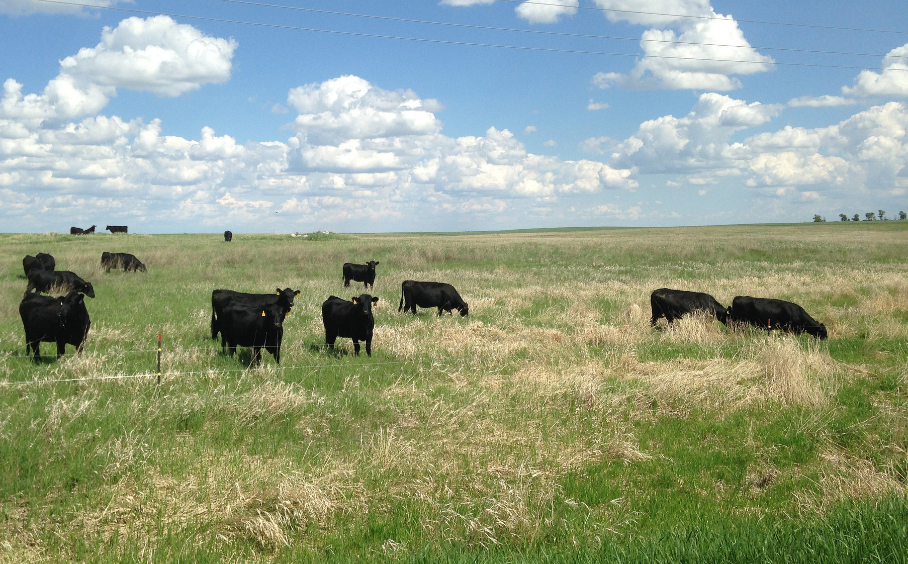
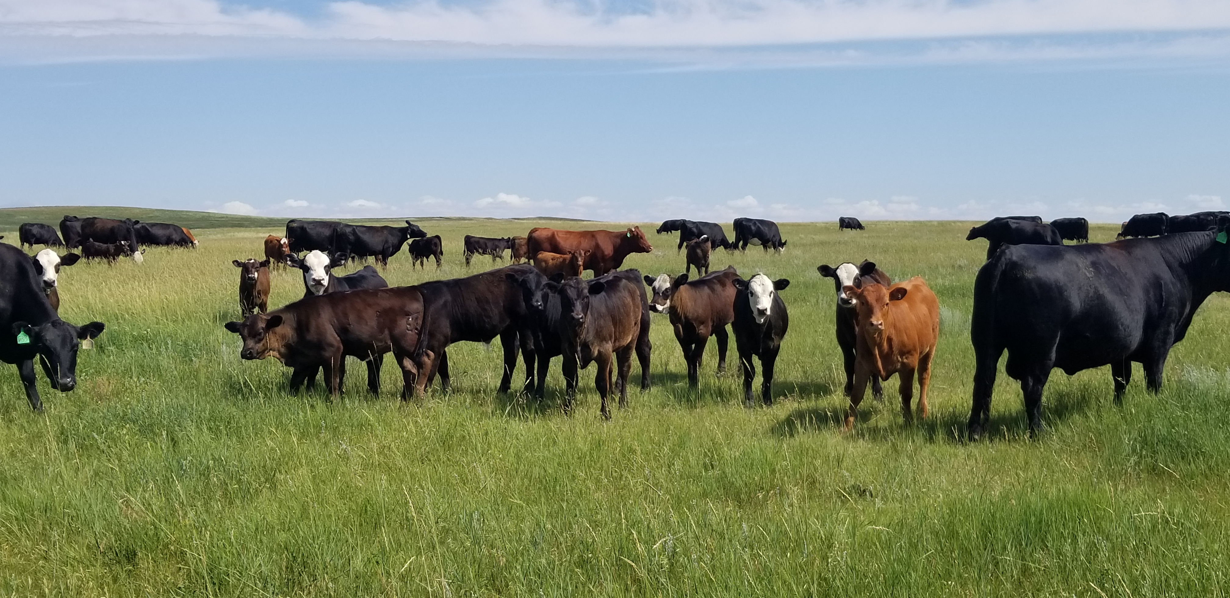
South Dakota Grazing Management Practices: Current & Future
Grazing land occupies 54% of rural land and accounts for a key portion of land use in South Dakota. Many grassland problems can be avoided by using efficient grazing management practices.

Flood Insurance
The higher amounts of snow this year will increase the chance of flooding and the potential water damage to homes and residential properties. Now is the time to consider purchasing a flood insurance policy.
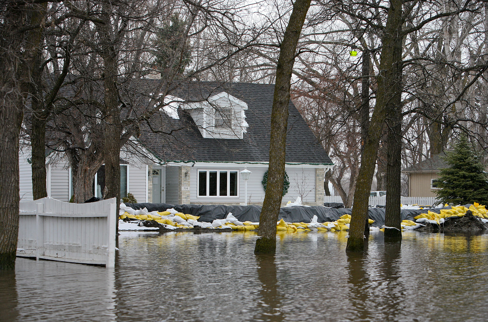
Managing Flooding Around Home Structures
As South Dakota and our surrounding neighbors begin to deal with the consequences of spring snowmelt and the dramatic flash flooding that came about from the region’s most recent winter storm, we can only hope that conditions begin to improve quickly.